
Opening the Trails
At The Juria Project, we believe the outdoors should be for everyone. But for people with disabilities, access to natural spaces is still often limited—not by interest or ability, but by infrastructure and information. That’s why we’re launching the Blue Hills Trail Accessibility Guides, a new initiative focused on making one of Greater Boston’s natural spaces more inclusive. With my partner, Miles Potter, we hope to achieve multifaceted accessibility to the Blue Hills Area by taking the necessary metrics so that individuals with disabilities can stay informed.
Why the Blue Hills?

This project is about changing that.
We want to make the Blue Hills a model for accessibility. That means gathering the right data and making it public—so that trail users with mobility needs, sensory considerations, or adaptive equipment can explore with confidence.
A Personal Mission
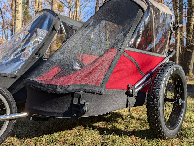
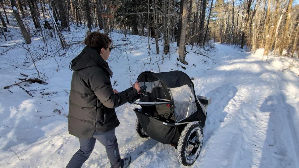
]Simon, my younger brother who inspired the Juria, loves being outside. But despite his passion for the outdoors, he’s often been unable to join hikes because trails lack basic accommodations or even the information to assess if they’re suitable.
What We’re Building
We’ll be hiking, documenting, and mapping trails across the Blue Hills Reservation to create detailed Trail Accessibility Guides. Each guide will include:
Trail width and surface material
Grade and slope measurements

Descriptions of terrain and obstacles
Photos and visual references
Wayfinding and signage info

These resources will be freely available online, designed to help trail users determine which routes align with their individual needs.
How We’re Doing It
We’re using a blend of technology and boots-on-the-ground research. Our tools include:
GPS trackers, inclinometers, and Lidar scanners
Mobile apps like Gaia GPS, AllTrails, and CalTopo
ArcGIS to build digital trail maps
U.S. Access Board guidelines to assess compliance with ADA standards https://www.access-board.gov/ada/#ada-206
We’ll be conducting fieldwork during the first two weeks of May, spending full days in the reservation hiking and collecting data.
We’re especially focused on meeting ADA-aligned trail features, including:
A firm, stable surface at least 36 inches wide
Gentle slopes and minimal cross-slope
No large rocks or roots that could obstruct wheelchairs
Accessible signage and clear trailheads
Frequent resting areas
We’re drawing from sources like the ADA Trail Standards and United Spinal Association to ensure we’re getting it right. Obviously, many trails do not fit this standard, so we hope to at least be able to inform community members about trails so that an individual can assess if it is fit for their needs.
Looking Ahead
We hope the Blue Hills Trail Accessibility Guides serve as a pilot—a blueprint for future work across New England. By sharing our tools, templates, and findings, we want to empower others to do similar work in their own communities.

.jpeg)


.png)


Comments